How does GIS work?
Geographic Information Systems (GIS) is a toolset that allows for the digital representation of real-world features and the analysis of trends and patterns within that data. In layman’s terms: computerized cartography.
If you are dealing with complex site conditions and different data sets that must be understood collectively, or working with volumes and fill calculations, or simply need a full picture of your site's unique features, GIS may hold the key to moving past these issues and enabling you to make confident decisions about your site.
At its simplest level, GIS allows for the quick and efficient creation of drawings for aiding visualization of site features. Features can include:
- Points (e.g., boreholes, monitoring wells, etc)
- Lines (e.g., roads, transects, etc)
- Polygons (e.g., site boundaries, areas of concern, etc)
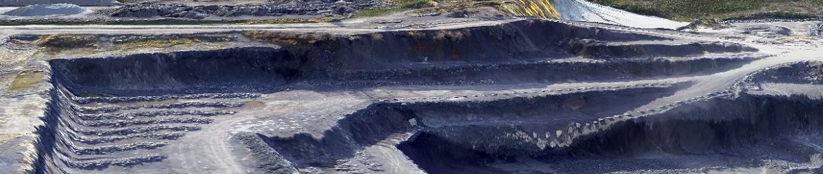
- Surfaces (e.g., elevation models, chemical hotspot interpolation, etc)
During spatial analysis for environmental projects, the overlaying and combining of features can provide insight into spatial trends or other natural phenomena. Whether consolidating and visualizing historical site data, verifying impinging features like streams and conserved lands or creating an adaptive sample design, GIS tools can make a dramatic difference in environmental operating practices.
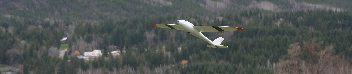
At GeoOptic, we use industry standard GIS tools like Pix4D, ESRI ArcGIS 10.1 with additional Spatial Analyst module and SADA 5.0, a specially designed program for Environmental Spatial Analysis and Decision Support. These programs allow for complete control of the data analysis process, from initial data input and creation through visualization and advanced methods. We use a combination of publically and privately available GIS data, in addition to creating our own using both historical site records and on-site GPS surveys.