
Services
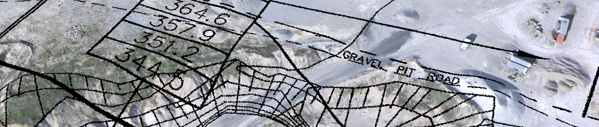
Site Topography
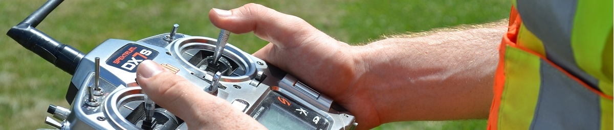
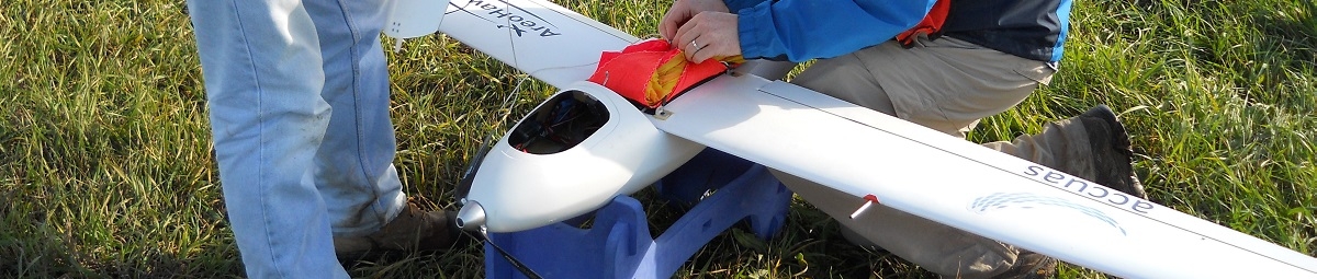
GeoOptic uses advanced photogrammetric techniques to determine site topography. Topographic data can be helpful across many different site uses and applications including cut/fill calculations, drainage and site planning. Using our UAV, GeoOptic collects a continuous photographic image of the site to ASPRS Class 1 Accuracy Standards. After the image stream is imported into our processing software GeoOptic produces a 3D terrain model of the site to provide highly accurate elevation information.
Our data is comparable to that of a traditional land survey, but at a much higher sampling density. This means that, compared to land-based surveying where data is collected manually at each collection point by the surveyor on site, our UAV gathers hundreds of high resolution photographs in a matter of minutes. The result is a richer, more accurate understanding of site characteristics.
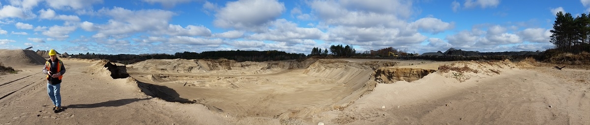
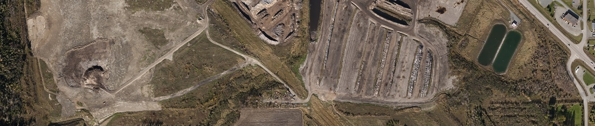
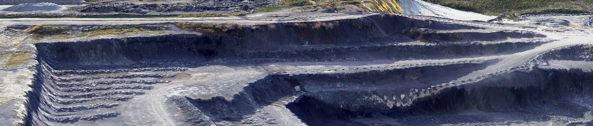
Volume Calculations
Using the data collected by our UAV, GeoOptic’s GIS specialist uses surface elevation to determine volumetric data which can be used to calculate stockpile, landfill or cut/fill volumes. When completed a subsequent phase of a project, GeoOptic can monitor changing site conditions (e.g., pile volumes, fill needs to bring a site to grade). This can provide useful data for planning, ongoing monitoring and decommissioning of sites.
What once took many hours of on-site land surveying, now can be done in a few hours with an increased quality of data. With GeoOptic’s GIS and expertise, our clients can be confident in their decision-making, allowing them to be responsive to the changing needs of their sites and their investments.
Slope Calculations
GeoOptic’s site surveys contain detailed elevation data which can be used to calculate slopes quickly and accurately. In a matter of hours, images are captured and ready for further analysis to calculate slopes required for regulatory reporting or site planning purposes.
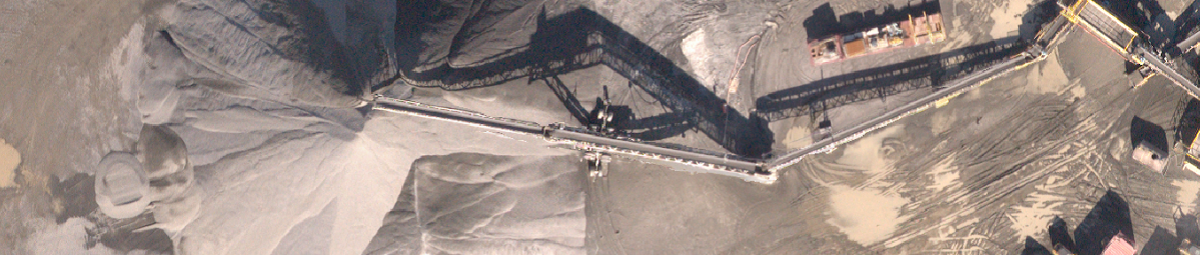
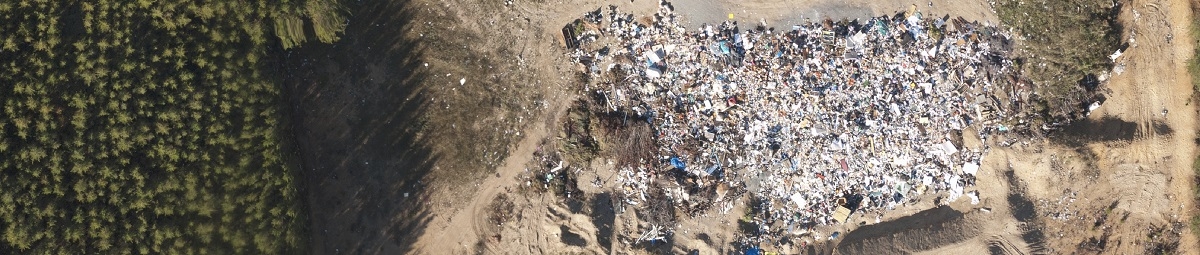
Site Imaging
GeoOptic’s UAV generates high resolution (5cm/pixel), full colour imagery which can be used to capture sites several square kilometers in size and provide valuable images for gaining a detailed overview of the site. This imaging can be further used to provide detailed site specific maps, for example, to plot specific locations of site features.
Alternatively, these high quality images can also be used to highlight attractive site features for promotional materials.